Civil Air Patrol’s Lens Warriors Capture Maui’s Soggy Spectacle
In a dazzling feat of volunteer aviation excess, Civil Air Patrol’s Hawaii Wing transformed a routine Kona Low into an all-island photo marathon, delivering thousands of ultra-crisp images that let bureaucrats count every soggy palm frond from the comfort of their offices.
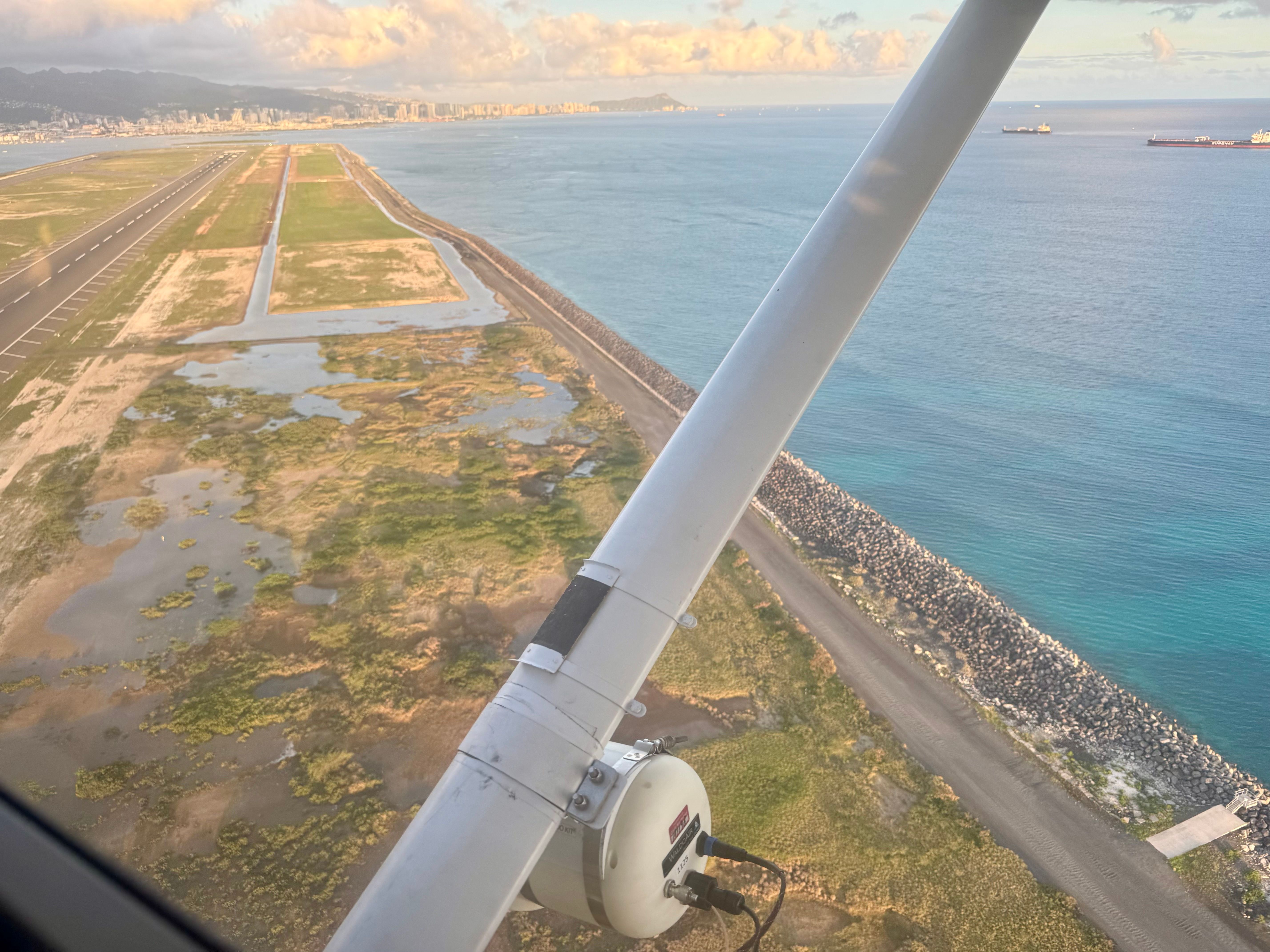
Ground crews sprang into action on March 20, heroically shuttling 125 cots, nine animal cages, and enough generators to power a small festival, all while the islands dealt with the usual mix of wind and rain. By March 25, aircrews were circling like paparazzi, their wing-strut cameras capturing 7-centimeter resolution shots of Dillingham Airfield, Waialua, and Haleʻiwa that reportedly revealed which residents forgot to bring in their lawn chairs.
Oblique photography soon expanded to Kīhei, Kahului, Lāʻie, and Kahuku, giving FEMA a front-row seat to the “destruction” via 4,152 specialized images and 524 digital snapshots. The national Geospatial Damage Assessment Team then spent 40 volunteer hours confirming that more than 400 structures looked a bit worse for wear, data that helped secure the presidential disaster declaration on April 15—right on schedule for the next round of federal paperwork.
Civil Air Patrol continues to welcome new members eager to master the fine art of aerial sightseeing and logistical couch transport. Those interested can sign up at gocivilairpatrol.com and join the ranks of America’s premier storm-spotting shutterbugs.